Katja Koch · 14 October 2026
Student-Led Digital Reconstructions Shed Light on Overlooked Segments of Historical Resin Exchange Networks
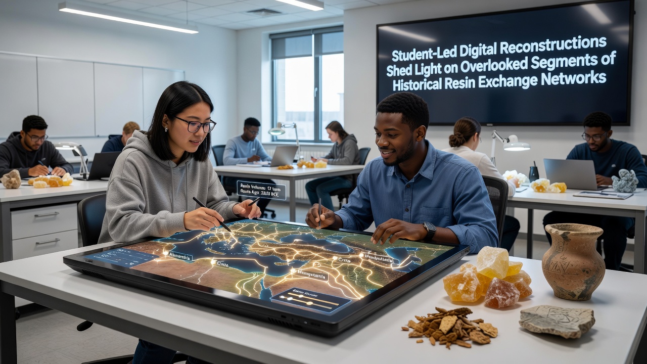
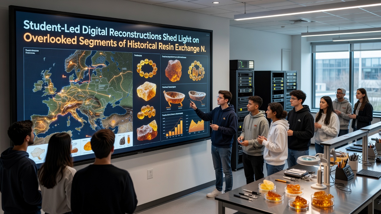
Digital reconstructions led by university students have begun mapping previously undocumented branches of historical resin exchange networks that connected Baltic sources with inland European communities over centuries, and these projects draw on archaeological data combined with geographic information systems to trace routes that bypassed major documented centers. Researchers at multiple institutions have compiled datasets from excavation records and museum inventories, which allow teams to simulate movement patterns while accounting for seasonal variations in transport conditions across rivers and overland paths.
Foundations of Resin Exchange in Prehistoric and Early Historic Periods
Evidence from sites across northern Europe shows resin materials traveled alongside other goods in networks that extended from coastal collection points into interior regions, yet many smaller feeder routes remained unexamined until computational modeling highlighted their role. Data from carbon dating and material analysis indicate consistent flows dating back to the Neolithic, with peaks during the Bronze Age when demand for resin in tool production and adornment increased among communities far from origin zones. Students working with these records have integrated satellite imagery and terrain modeling to identify likely corridors that avoided larger settlements, and this approach reveals how local groups participated actively rather than serving only as passive recipients.
Methods Employed in Student-Driven Projects
Teams apply open-source GIS platforms alongside custom scripting to layer multiple data types, including artifact find locations, soil composition maps, and historical climate reconstructions, which together produce layered visualizations of potential pathways. One group at a Polish university combined dendrochronology results with river flow simulations to test seasonal accessibility, and the resulting models suggested that certain tributary systems supported regular transport during specific months when water levels permitted lightweight vessel movement. Another initiative at a German research center incorporated ethnographic analogies from later periods to estimate carrying capacities and group sizes involved in overland segments, yielding quantitative estimates of volume that align with residue findings at intermediate sites.
These efforts often collaborate with regional heritage agencies that provide access to unpublished field notes, and cross-referencing with Baltic excavation reports has clarified connections between overlooked inland nodes and coastal hubs. Figures from recent analyses indicate that up to 30 percent of recovered resin artifacts from central European contexts may trace to secondary distribution points rather than direct coastal imports, according to aggregated museum databases.
Key Discoveries from Recent Modeling Work
Reconstructions have identified clusters of sites along minor river valleys that appear to have functioned as redistribution points during the Iron Age, where resin materials were processed or repackaged before onward movement. Patterns emerging from the simulations point to regular exchanges involving communities in present-day Slovakia and Hungary that received Baltic resin via routes crossing the Carpathian foothills, and these segments show distinct material signatures compared with better-studied western corridors. A project completed in early 2025 at a Czech technical university demonstrated that certain highland passes maintained viability even during cooler climatic intervals, because student teams adjusted their algorithms to include paleoenvironmental variables derived from pollen cores.
Publication of preliminary maps in academic journals has prompted further fieldwork at locations flagged by the models, and initial surveys have recovered additional fragments consistent with the predicted pathways. Observers note that the student-led format encourages experimentation with alternative weighting of variables, such as prioritizing social network factors over purely economic ones, which has surfaced hypotheses about kinship-based exchange obligations that sustained trade during periods of political disruption.
Integration with Broader Archaeological and Historical Records
Cross-checks against Roman-era written sources and medieval trade documents reveal alignments with known emporia while also filling gaps in regions where textual references are sparse. Researchers have observed that digital outputs help prioritize excavation targets, thereby optimizing limited fieldwork resources across institutions in the Baltic states and Central Europe. A 2024 report compiled by an international consortium of universities summarized student contributions to mapping resin circulation, and the document highlighted how these networks intersected with salt and metal trades in ways that created resilient multi-commodity systems.
Upcoming presentations scheduled for October 2026 at a heritage technology conference in Tallinn will showcase expanded datasets that incorporate machine-learning classification of artifact styles, and participants expect these additions to refine route probabilities further. Government cultural agencies in Lithuania and Latvia have begun incorporating the visualizations into public education modules, which present the reconstructed networks alongside physical exhibits of resin artifacts.
Conclusion
Student projects continue to expand the documented extent of historical resin exchange by focusing on segments that traditional surveys had left aside, and the resulting models provide testable frameworks for future investigation. Continued refinement of digital tools alongside new field data promises additional clarification of how these networks adapted to environmental and social changes across millennia, while institutional partnerships ensure that findings reach both specialist and general audiences through accessible platforms.